Harnessing Digital Twins: A Step-by-Step Guide for US Urban Planning Projects in 2026

Harnessing Digital Twins: A Step-by-Step Guide for US Urban Planning Projects in 2026
The landscape of urban planning is undergoing a profound transformation, driven by technological advancements that promise greater efficiency, sustainability, and citizen engagement. Among these innovations, digital twin urban planning stands out as a game-changer. By 2026, this technology is poised to become an indispensable tool for US urban planners, offering an unprecedented level of insight and control over city development. This comprehensive guide will delve into what digital twins are, their immense benefits for urban planning, and provide a step-by-step roadmap for their successful implementation in US projects.
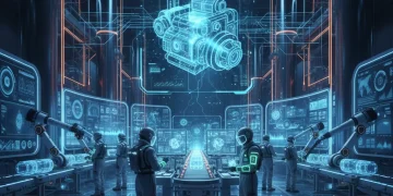
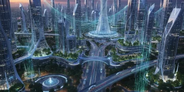
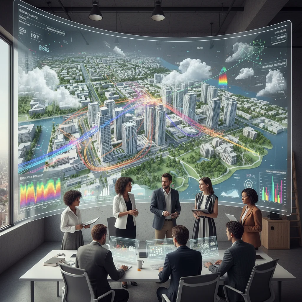
The concept of a digital twin, once confined to manufacturing and aerospace, has rapidly expanded its applicability, finding a natural home in the complex, data-rich environment of urban development. A digital twin is essentially a virtual replica of a physical asset, system, or process. In the context of urban planning, this means creating a dynamic, real-time virtual model of a city, a neighborhood, or even a single building, integrated with live data streams from various sources. This virtual counterpart allows planners to monitor, analyze, simulate, and optimize urban environments in ways previously unimaginable.
The urgency for adopting such advanced tools stems from the escalating challenges faced by US cities. Rapid urbanization, climate change, aging infrastructure, and the constant demand for improved quality of life necessitate more sophisticated and proactive planning approaches. Traditional planning methods, often reliant on static data and siloed information, are increasingly inadequate to address these multifaceted issues. Digital twin urban planning offers a holistic, integrated solution, enabling planners to make more informed decisions, mitigate risks, and foster resilient, sustainable, and smart cities.
This article will serve as your essential resource for understanding and implementing digital twin technology in your urban planning initiatives. We will explore the foundational elements, the strategic advantages, and the practical steps required to integrate digital twins effectively into your projects, ensuring your city is well-equipped for the future.
What Exactly is a Digital Twin in Urban Planning?
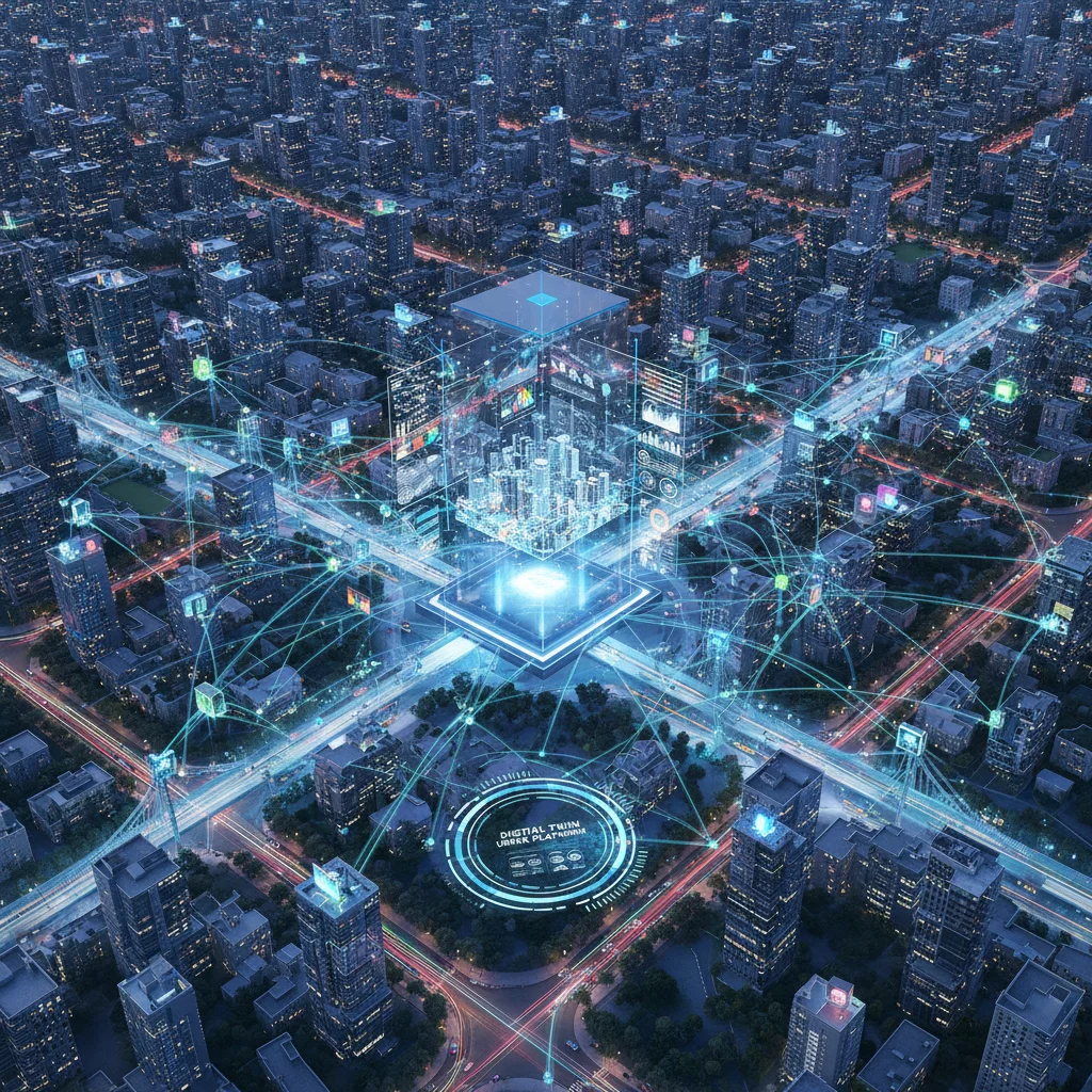
At its core, a digital twin for urban planning is a virtual model that mirrors a physical city or a specific urban area. But it’s far more than just a 3D model. What differentiates a digital twin is its continuous connection to real-world data. This data, collected from a myriad of sources such as IoT sensors, satellite imagery, traffic cameras, weather stations, and even social media feeds, constantly updates the virtual model, making it a living, breathing representation of the physical environment.
Components of a Robust Digital Twin
- 3D Geospatial Model: This forms the visual foundation, accurately representing buildings, infrastructure, topography, and green spaces. It’s often built using GIS data, CAD models, LiDAR scans, and photogrammetry.
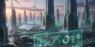
- Real-time Data Integration: This is the lifeblood of the digital twin. It involves ingesting live data on everything from traffic flow, public transport movements, energy consumption, air quality, water usage, waste management, and even pedestrian density.
- Simulation and Analytics Engines: These powerful tools allow planners to run ‘what-if’ scenarios, predict outcomes of proposed changes, and analyze complex interdependencies within the urban system. For instance, simulating the impact of a new road on traffic congestion or the effect of a new park on local air quality.
- Visualization Interface: An intuitive and interactive dashboard or platform that allows users to explore the digital twin, visualize data, and interpret simulation results. This often includes augmented reality (AR) and virtual reality (VR) capabilities for immersive experiences.
- Feedback Loop: A critical component that allows insights gained from the digital twin to inform and optimize real-world decisions, creating a continuous cycle of improvement.
The power of digital twin urban planning lies in its ability to move beyond static plans and provide a dynamic, predictive, and responsive framework for urban development. It’s not just about seeing what is; it’s about understanding why things are the way they are and predicting what they could be.
Why US Urban Planning Needs Digital Twins by 2026: Key Benefits
The adoption of digital twins is not merely a technological fad; it’s a strategic imperative for US cities aiming for sustainable growth, resilience, and enhanced liveability. By 2026, cities that have embraced this technology will undoubtedly hold a significant advantage. Let’s explore the multifaceted benefits.
Enhanced Decision-Making and Planning
Digital twins provide an unparalleled foundation for evidence-based decision-making. Planners can access a holistic view of the urban environment, understanding the intricate relationships between different systems. This allows for:
- Informed Policy Development: Policies related to zoning, transportation, and environmental regulations can be tested and refined virtually before implementation.
- Optimized Resource Allocation: Cities can better understand where resources are most needed, leading to more efficient allocation of budgets for infrastructure, public services, and emergency response.
- Reduced Risk: By simulating the impact of proposed developments or policy changes, potential negative consequences can be identified and mitigated early in the planning process.
Improved Infrastructure Management and Resilience
Aging infrastructure is a pressing concern across the US. Digital twins offer a proactive approach to managing and maintaining critical urban systems.
- Predictive Maintenance: Real-time data from sensors embedded in infrastructure (bridges, roads, utility networks) can predict failures, allowing for timely interventions and preventing costly breakdowns.
- Disaster Preparedness and Response: Digital twins can simulate flood scenarios, earthquake impacts, or other natural disasters, helping cities develop more effective emergency plans and response strategies.
- Optimized Utility Networks: Monitoring energy, water, and waste systems in real-time allows for optimization, reducing consumption, identifying leaks, and improving service delivery.
Sustainability and Environmental Stewardship
As climate change impacts intensify, cities are on the front lines of building sustainable futures. Digital twin urban planning is a powerful tool in this endeavor.
- Energy Efficiency: Simulating building energy performance, optimizing urban heat island effects, and planning for renewable energy integration become more precise.
- Air Quality Monitoring: Real-time air quality data can inform urban design decisions, traffic management, and green space planning to improve public health.
- Water Management: From optimizing irrigation in parks to identifying leaks in water networks, digital twins contribute to responsible water usage.
Enhanced Citizen Engagement and Transparency
Engaging citizens in the planning process is crucial for successful urban development. Digital twins can make this process more transparent and interactive.
- Visualizing Proposals: Citizens can explore proposed developments in a highly realistic virtual environment, providing more meaningful feedback.
- Interactive Public Consultations: Digital twins can be used in public forums to demonstrate the impact of different planning options, fostering better understanding and collaboration.
- Increased Trust: By providing clear, data-driven insights, digital twins can help build trust between city authorities and their residents.
Step-by-Step Guide to Implementing Digital Twins in US Urban Planning Projects by 2026
Implementing a digital twin for urban planning is a complex undertaking, but by breaking it down into manageable steps, cities can embark on this transformative journey successfully. This roadmap is designed with the US context in mind, considering existing infrastructure, regulatory frameworks, and technological capabilities.
Step 1: Define Scope and Objectives (Q1 2024 – Q2 2024)
Before diving into technology, it’s crucial to clearly define what you want your digital twin to achieve. Start small and scale up.
- Identify a Pilot Project: Instead of attempting to twin an entire city immediately, select a specific district, a new development project, or a critical infrastructure system (e.g., a transportation corridor, a water treatment plant). This allows for learning and refinement.
- Set Clear Goals: What problems are you trying to solve? Is it reducing traffic congestion, optimizing energy usage, improving disaster response, or enhancing public engagement? Specific, measurable, achievable, relevant, and time-bound (SMART) goals are essential.
- Stakeholder Identification: Identify all key stakeholders – city departments (planning, public works, transportation, utilities), private developers, academic institutions, and community groups. Their buy-in is critical.
- Budget and Funding: Begin exploring funding opportunities, including federal grants (e.g., from the Department of Transportation, EPA), state programs, public-private partnerships, and municipal budgets.
Step 2: Data Collection and Integration Strategy (Q3 2024 – Q4 2024)
Data is the fuel for any digital twin. A robust data strategy is non-negotiable.
- Inventory Existing Data: Catalog all available data sources: GIS maps, building information models (BIM), CAD drawings, census data, traffic counts, environmental sensor data, utility network maps, satellite imagery, and aerial photography.
- Identify Data Gaps: Determine what critical data is missing. This might necessitate deploying new IoT sensors for air quality, noise levels, pedestrian counts, or smart meters for energy/water.
- Establish Data Standards and Protocols: Ensure data consistency, quality, and interoperability. Adhere to open standards where possible to avoid vendor lock-in.
- Data Security and Privacy: Develop robust protocols for data security, access control, and compliance with privacy regulations (e.g., GDPR-like state laws, local ordinances). This is paramount for public trust.
Step 3: Platform Selection and Development (Q1 2025 – Q3 2025)
Choosing the right technology platform is a critical decision that will influence the success and scalability of your digital twin urban planning initiative.
- Evaluate Vendor Solutions: Research and compare digital twin platforms offered by various providers (e.g., Siemens, Bentley Systems, Autodesk, Esri, Microsoft Azure Digital Twins). Consider their capabilities, scalability, integration options, and support.
- Consider Open-Source Options: For cities with strong in-house technical capabilities, open-source frameworks might offer greater flexibility and cost savings.
- Custom Development vs. Off-the-Shelf: Decide whether a custom-built solution is necessary for unique requirements or if an off-the-shelf platform can be adapted. Hybrid approaches are also common.
- Integration with Existing Systems: The chosen platform must seamlessly integrate with existing city IT infrastructure, such as GIS systems, asset management platforms, and permitting systems.
- Cloud Strategy: Determine whether to host the digital twin on-premise, in a public cloud, or a hybrid environment, considering data volume, security, and computational needs.
Step 4: Model Creation and Calibration (Q4 2025 – Q2 2026)
This is where the virtual replica truly comes to life.
- 3D Model Generation: Develop or acquire high-fidelity 3D models of the physical environment. This often involves combining existing BIM data with LiDAR scans, photogrammetry, and drone surveys to create accurate representations.
- Data Stream Connection: Connect the various real-time data feeds to the 3D model. This involves setting up APIs and data pipelines to ensure continuous and reliable data flow.
- Calibration and Validation: Rigorously test and calibrate the digital twin against real-world observations. Ensure that the virtual model accurately reflects the behavior and performance of its physical counterpart. This iterative process is crucial for the reliability of the twin.
- Simulation Engine Configuration: Configure and fine-tune the simulation models (e.g., traffic flow, energy consumption, crowd dynamics) based on real-world parameters and historical data.
Step 5: Pilot Project Deployment and Iteration (Q3 2026 – Q4 2026)
Launch your digital twin in the defined pilot area and learn from the experience.
- User Training: Train urban planners, engineers, and other city personnel on how to effectively use the digital twin platform, interpret data, and run simulations.
- Initial Application: Apply the digital twin to solve the specific problems identified in Step 1. For example, simulate different traffic management strategies for a congested intersection or analyze the energy performance of a new building design.
- Feedback Collection: Actively solicit feedback from users and stakeholders. What works well? What needs improvement?
- Iterative Refinement: Based on feedback and performance metrics, refine the digital twin, improve data integration, enhance simulation models, and optimize the user interface. Digital twins are not static; they evolve with the city.
Step 6: Scaling and Long-Term Strategy (Ongoing from 2027)
Once the pilot is successful, develop a strategy for expanding the digital twin’s scope and ensuring its long-term viability.
- Phased Expansion: Gradually expand the digital twin to cover more areas of the city or integrate more urban systems, building on the lessons learned from the pilot.
- Governance Model: Establish a clear governance structure for the digital twin, defining roles, responsibilities, data ownership, and update protocols.
- Continuous Improvement: The digital twin should be continuously updated with new data, technology advancements, and evolving urban needs.
- Inter-Agency Collaboration: Foster collaboration between different city departments, encouraging the sharing of data and insights derived from the digital twin.
- Public-Private Partnerships: Explore opportunities for collaboration with private sector companies, universities, and research institutions to drive innovation and secure additional funding for the digital twin initiative.
Challenges and Considerations for US Cities
While the benefits of digital twin urban planning are compelling, implementing this technology is not without its challenges. US cities must proactively address these to ensure successful adoption.
Data Governance and Interoperability
Cities often grapple with fragmented data across various departments, each with its own formats and systems. Establishing common data standards and ensuring interoperability between different platforms is a significant hurdle. A robust data governance framework is essential to manage data quality, access, and security.
Funding and Investment
The initial investment in digital twin technology, including sensors, software platforms, and skilled personnel, can be substantial. Securing adequate funding, demonstrating clear return on investment (ROI), and exploring innovative financing models (e.g., public-private partnerships, grants) are crucial.
Talent and Expertise
Implementing and managing a digital twin requires a diverse skill set, including data scientists, GIS specialists, urban planners with technological acumen, and IT professionals. Cities need to invest in training existing staff and attracting new talent to build the necessary in-house expertise.
Cybersecurity and Privacy Concerns
Integrating vast amounts of real-time data, including potentially sensitive information, raises significant cybersecurity and privacy concerns. Robust security measures, data anonymization techniques, and strict adherence to privacy regulations are paramount to building public trust and protecting critical infrastructure.
Stakeholder Buy-in and Change Management
Introducing a new technology like a digital twin requires managing significant organizational change. Gaining buy-in from all stakeholders, including city leadership, departmental staff, and the public, is essential. Clear communication about the benefits and a structured change management strategy can help overcome resistance.
The Future of Digital Twin Urban Planning in the US Beyond 2026
Looking beyond 2026, the evolution of digital twin urban planning in the US is set to be even more dynamic. We can anticipate several key trends:
Hyper-Realistic and Immersive Experiences
Advancements in VR, AR, and mixed reality will create increasingly immersive experiences for interacting with digital twins. This will not only enhance planning and design processes but also revolutionize public engagement, allowing citizens to ‘walk through’ future developments.
AI and Machine Learning Integration
Artificial intelligence and machine learning will become deeply embedded in digital twins, enabling more sophisticated predictive analytics, autonomous decision-making support, and adaptive urban management systems. AI could, for instance, autonomously optimize traffic light timings based on real-time flow or predict maintenance needs for infrastructure components.
Greater Interoperability and Standardization
As digital twins become more prevalent, there will be a growing push for greater interoperability between different city digital twins and across various vendor platforms. Industry standards will emerge to facilitate seamless data exchange and collaboration.
Ethical AI and Data Usage
With the increasing reliance on data and AI, ethical considerations regarding data bias, algorithmic transparency, and responsible AI usage will become central to digital twin development and governance. Public trust will hinge on transparent and equitable data practices.
Citizen-Centric Digital Twins
The focus will shift even more towards creating digital twins that directly serve the needs and empower the residents. This could involve personalized urban services, real-time feedback mechanisms for citizens, and direct input into planning decisions through interactive digital twin interfaces.
Conclusion
The journey towards fully realizing the potential of digital twin urban planning in US cities by 2026 is ambitious yet entirely achievable. This technology offers a pathway to more resilient, efficient, and livable urban environments, capable of addressing the complex challenges of the 21st century. By following a structured, step-by-step approach, focusing on clear objectives, robust data strategies, and strong stakeholder collaboration, US cities can effectively harness the power of digital twins.
The future of urban planning is intelligent, data-driven, and interconnected. Embracing digital twin technology now will not only position cities at the forefront of urban innovation but also ensure they are well-prepared to create sustainable and thriving communities for generations to come. The time to invest in this transformative technology is now, paving the way for a smarter urban future across the United States.